Sutlej River : Pollution

Anger mounts in Sri Ganganagar district, Rajasthan, against alleged pollution in the river Sutlej, which they blame on factories in the neighbouring Punjab.
- It is the longest of the five tributaries of the Indus River.
- It is also known as “Satadree”.
- The Sutlej River is primarily located to the north of the Vindhya Range, east of the Pakistani Central Makran Range,and south of the Hindu Kush region.
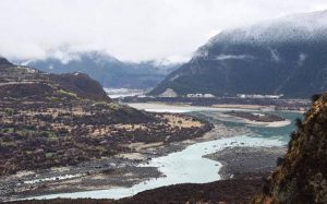
- It rises on the north slope of the Himalayas in Lake Rakshastal in southwestern Tibetat an elevation above 15,000 feet (4,600 metres).
- Length: It has a total length of 1550 km, out of which 529 km is in Pakistan.
- The hydrologyof the Sutlej is controlled by spring and summer snowmelt in the Himalayas and by the South Asian monsoon.
- It has many tributaries, with Baspa, Spiti, Nogli Khad, and Soan River being its main ones.
- Water from the Sutlej River has been allocated to India according to the Indus Waters Treaty of 1960.
- There are several major hydroelectric projects on the Sutlej, including the 1,000 MW Bhakra Dam, the 1,000 MW Karcham Wangtoo Hydroelectric Plant, and the 1,530 MW Nathpa Jhakri Dam.


