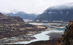
Subarnarekha River:

Over 50,000 people were affected as a flash flood in the Subarnarekha River caused water to enter their villages in Odisha’s Balasore district.
- Subarnarekha River originates near Nagri village in the Ranchi District of Jharkhand at an elevation of 600 m.
- It flows for a length of 395 km before outfalling into the Bay of Bengal.
- The Subarnarekha (meaning “Streak of Gold”) flows east through a copper-mining region and leaves the Chota Nagpur plateau by the Hundrugbagh waterfall.
- Its principal tributaries joining from right are the Kanchi, the Karkari and the Kharkai.
- The basin is bounded by the Chota Nagpur plateau on the north and the west, by the ridges separating it from Baitarani basin on the south, by the Bay of Bengal on the south-east and by the Kasai Valley of Kangsabati River on the east.
- It extends over States of Jharkhand, Odisha and comparatively smaller part in West Bengal.
- The basin is generally influenced by the South-West monsoon, which onsets in the month of June and extends up to October.


