
ISRO’s CARTOSAT-3 Images : Myanmar Earthquake
ISRO’s CARTOSAT-3 images reveal earthquake damage in Myanmar.
- ISRO’s Earth observation satellite, CARTOSAT-3, captured high-resolution images of the destruction caused by the 7-magnitude earthquake that struck Myanmar on March 28, 2025.
- The post-disaster imagery (March 29) was compared with pre-event data (March 18) to assess the damage in Mandalay and Sagaing.
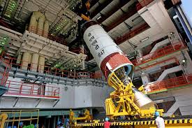
- CARTOSAT-3 is a third-generation agile advanced Earth observation satellite developed by ISRO.
- It replaces the IRS (Indian Remote Sensing) series and has high-resolution imaging capabilities.
- Launched aboard the Polar Satellite Launch Vehicle (PSLV-C47).


