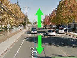
Google Street View:

Google Street View is launched in ten cities of India under the Guidelines of the National Geospatial Policy (NGP), 2021.
- NGP 2021 lets Indian companies collect map data and license it to others.
- Google Street View is an immersive 360-degree view of a location captured using special cameras mounted on vehicles or on backpacks by data collectors moving around the city streets.
- The images are then patched together to create 360-degree view which users can swipe through to get a detailed view of the location.
- It is available to view on Android and iOS using the app, or as a web viewer.
- Street View in India is not allowed for restricted areas like government properties, defence establishments and military areas.
- This means in a place like Delhi, the cantonment area will be out of bounds for Street View.
- The National Geospatial Policy, 2021 liberalises the geospatial sector and democratises the datasets generated by use of public funds.
- The Policy seeks to empower citizens and enterprises to create, access and use geospatial data and information for addressing developmental needs of the country while also safeguarding its security interests.
- It provides for augmenting the geospatial ecosystem in the country, as well as globally, by encouraging geospatial knowledge generation, skill sets and expertise etc.
- The Survey of India topographic data will be made widely and easily accessible.
- Geospatial data and information produced using public funds will be shared as per the National Data Sharing and Accessibility Policy (2012).
- Efforts will be made to standardise the storage formats of geospatial data so that it becomes available in an interoperable machine-readable form.
- A standardised curriculum will be developed for geospatial data education.
- A certifying body will be constituted to review the practices of professionals such as surveyors, and certify individuals on the completion of courses in geospatial education.


